Surveying stands as one of the earliest and most vital disciplines in the history of human development.From drawing borders to designing cities, the art and science of measurement and mapping the Earth’s surface have played a crucial role in shaping societies. Today, surveying remains at the heart of modern infrastructure, construction, and mapping technologies.
In this article, we’ll dive into five key types of surveying, understand their unique methods and tools, and explore how they contribute to the world of modern mapping.
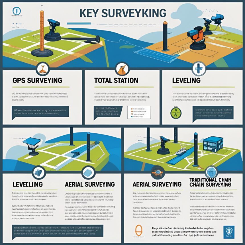
1. Land Surveying
What It Is:
Land surveying involves measuring and mapping the physical boundaries and features of a piece of land. It’s commonly used in property assessments and construction planning.
Common Methods:
-
Total Station measurements
-
GPS/GNSS surveying
-
Theodolite and level surveying
Main Uses:
-
Establishing property lines
-
Site planning and development
-
Resolving land disputes
Why It Matters:
Without accurate land surveys, construction could encroach on neighboring properties, legal ownership could be challenged, and city planning would lack structure. Land surveying provides the foundation for nearly every land-based project.
2. Topographic Surveying
What It Is:
Topographic surveying records the elevation and shape of land surfaces, capturing natural and man-made features in detail.
Common Methods:
-
Aerial and drone-based photogrammetry
-
LiDAR scanning
-
GPS mapping
Main Uses:
-
Civil engineering design (roads, bridges, buildings)
-
Environmental impact studies
-
Terrain modeling and 3D maps
Why It Matters:
Grasping the layout of the land is crucial for designing safely and effectively. Topographic maps enable engineers to identify potential issues such as elevation changes, water flow, and ground conditions before starting construction.
3. Hydrographic Surveying
What It Is:
Hydrographic surveying is the process of measuring and mapping underwater features in oceans, rivers, lakes, and harbors.
Common Methods:
-
Echo sounding
-
Sonar and multi-beam systems
-
Underwater GPS and remotely operated vehicles (ROVs)
Main Uses:
-
Port and harbor development
-
Navigation chart production
-
Offshore drilling and underwater construction
Why It Matters:
Accurate underwater data is essential for safe marine navigation, protecting ecosystems, and supporting the shipping and offshore energy industries.
4. Engineering Surveying
What It Is:
Engineering surveying supports the construction of buildings, roads, tunnels, and other structures by providing detailed and accurate measurements before, during, and after construction.
Common Methods:
-
3D laser scanning
-
Construction layout tools
-
Digital levels and total stations
Main Uses:
-
Marking construction lines and control points
-
Monitoring structural movement and alignment
-
Ensuring compliance with design blueprints
Why It Matters:
Without precise engineering surveys, buildings might be misaligned, roads might deviate from design, and structures could become unsafe. Engineering surveying ensures that every element fits together correctly.
5. Geodetic Surveying
What It Is:
Geodetic surveying covers large-scale measurements that account for the Earth’s curvature. It uses highly advanced technology to establish a global reference framework.
Common Methods:
-
Satellite-based GPS and GNSS systems
-
Astronomical observations
-
Gravimetric surveys
Main Uses:
-
National and global mapping systems
-
Earth movement and tectonic shift monitoring
-
Establishing control networks for other surveys
Why It Matters:
Geodetic surveys establish the foundational coordinate framework upon which all other surveying types depend. They are essential for maintaining global positioning accuracy and supporting space and geoscience research.
Conclusion
Surveying is more than just measuring land; it’s about understanding, recording, and planning the environment we live in. The five main types—Land, Topographic, Hydrographic, Engineering, and Geodetic surveying—each play a critical role in shaping modern infrastructure, navigation, and technology.
As technology advances with drones, satellite systems, and 3D modeling, the importance of precise and reliable surveying will only continue to grow. Whether it’s building a home, constructing a dam, or mapping the ocean floor, surveying is the silent partner behind progress.